Roberto Aguilar
Sonett 10F
Documents
Links
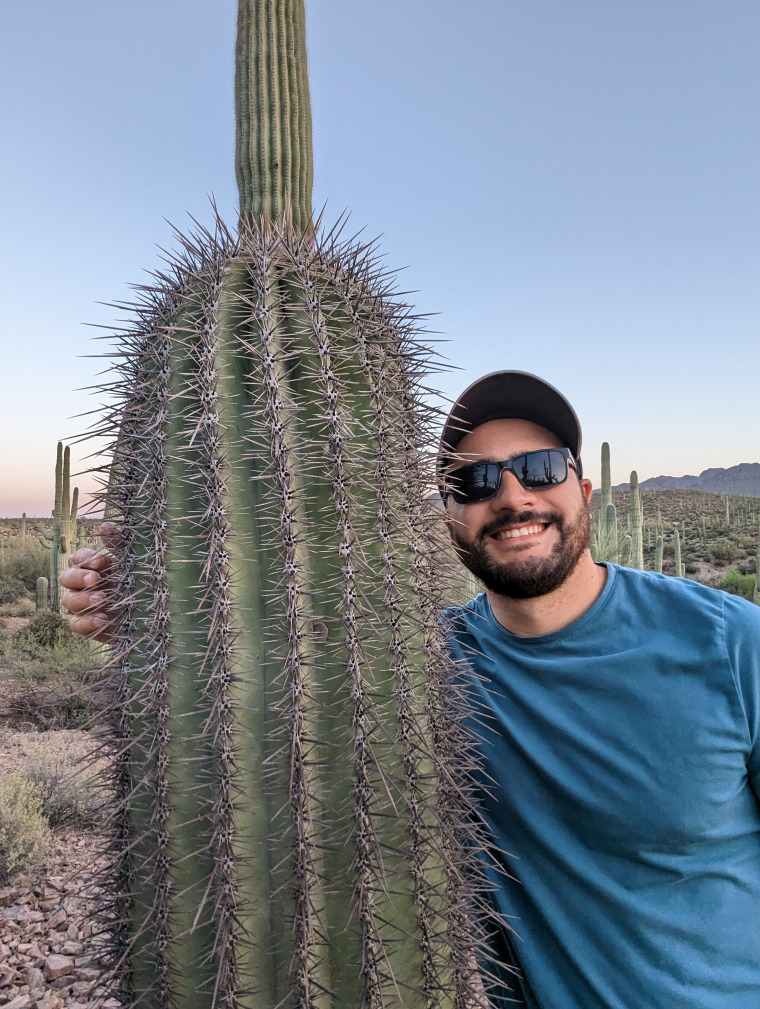
I combine orbital radar data and geologic mapping to investigate the oldest ice preserved at the mid-latitudes of Mars. I also lead the development of state-of-the-art drone radar technology for future applications in guiding ice coring missions to Mars, particularly for astrobiology investigations and in-situ resource utilization to support human exploration.
Grants:
- NASA FINESST 2024-2027 "Searching for the oldest mid-latitude ice on Mars"
- DevelopSpace "Electromagnetic Simulations of Near-Surface Ice in Martian Glaciers with Drone Radar"
JPL Planetary Science Summer Program (cohort 2026) - NASA Science Mission Design
Divulgación de ciencias planetarias en español:
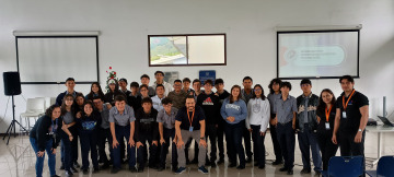
Science outreach at COVAO High School. Cartago, Costa Rica.
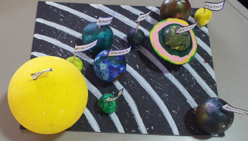
Maqueta del sistema solar elaborada por alumnos de la Escuela Pbro. Juan de Dios Trejos (Pacayas, Costa Rica) para una charla virtual.
In the media:
Astrobiology: Drone Radar Reveals Buried Glaciers On Earth, Guiding The Search For Water On Mars
Infobae: Drones con radar mapean glaciares ocultos y abren camino a la búsqueda de hielo en Marte
"Que no panda el cúnico" -- Chespirito
Degrees
- M.Sc. Planetary Sciences (en route), 2025. University of Arizona
- M.Sc. Space Systems and Engineering, 2020. Skolkovo Institute of Science and Technology. Master's Thesis project at the Photogrammetry and Remote Sensing lab, ETH Zurich
- M.Sc Traffic control systems and navigation, 2020. Moscow Institute of Physics and Technology
- B.Sc. Computer Science, 2015. University of Costa Rica
Awards
- University of Arizona Galileo Circle 2025 & 2026
- College of Science Graduate Award in Scholarship 2025
- Mars Student Travel Award 2024 by JPL
Licensure & Certification
- FAA Part 107 (drone pilot)