Brandon Tober
Research: Brandon's research is focused on mapping ice thickness and bed elevation for temperate alpine glaciers in Alaska. Studies show that these ice masses are thinning and retreating rapidly: contributing significantly to sea level rise. To adequately assess the stability and model the future evolution of these glaciers requires detailed mapping of ice thickness and bed elevation. To provide such measurements, Brandon analyzes airborne radar sounding data acquired by NASA's Operation IceBridge.
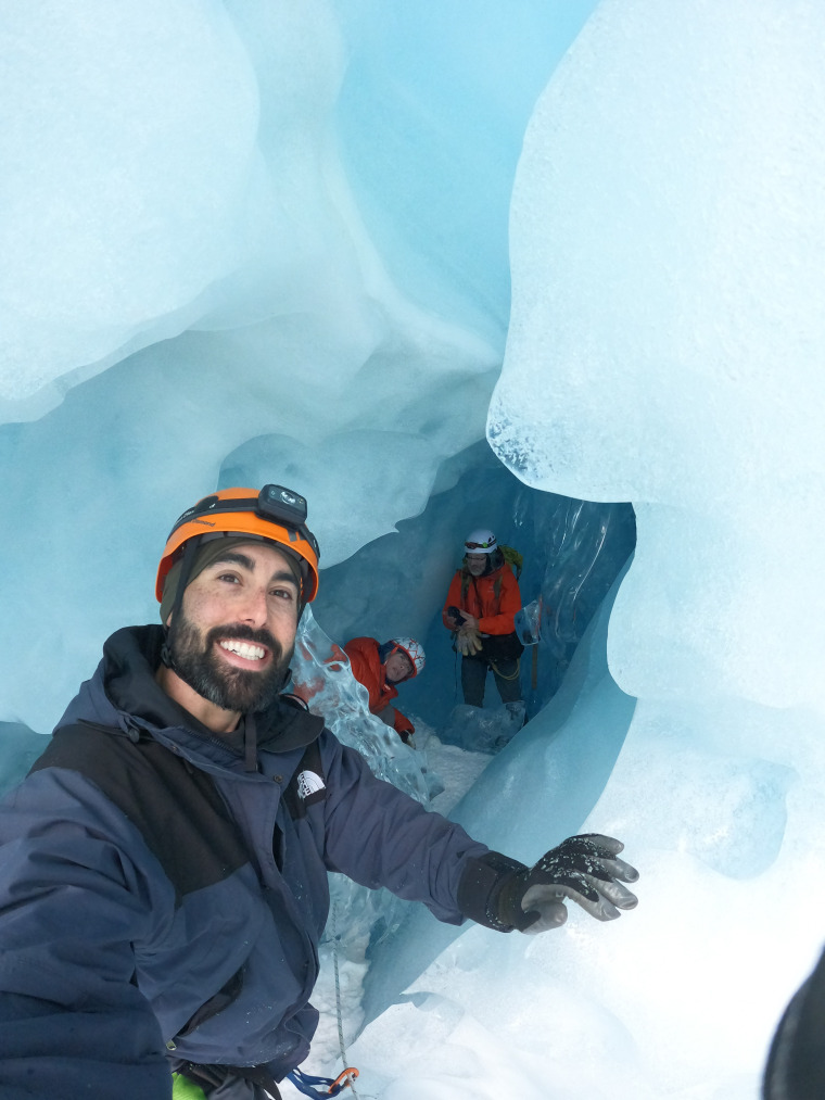
Field Experience: Brandon was involved in the 2019 and 2021 NASA Operation IceBridge Alaska field campaigns. This involved mission planning, radar and lidar system deployment and data acquisition, as well as data processing. Brandon has also been involved in several debris covered glacier field campaigns at both Sulphur and Galena Creek rock glaciers in Wyoming, as well as Gilpin Creek rock glacier in Colorado. This work has involved the use of Ground-Penetrating Radar, Transient Electromagnetics, and Photogrammetry in an effort to investigate the composition and morphology of these various rock glaciers. During the summer of 2021 Brandon and other TAPIR lab members joined collaborators from the University of Alaska Fairbanks and the National Park Service for geophysics, glaciology, and geomorphology field work at Malaspina Glacier, Alaska. Brandon has also led airborne lidar data acquisition over the Arctic National Wildlife Refuge in 2021, and over the forelands of Malaspina Glacier in 2022.
Funding Sources: A New Regional View of Alaskan Glaciers: Bed Elevation, Ice Thickness, and Flux (NASA FINESST; Future Investigator, Brandon Tober)
Degrees
- PhD Geosciences, University of Arizona
- BSc Geography, Texas State University